Malaysia Airlines MH370 Google Maps: The disappearance of Malaysia Airlines MH370 remains one of the greatest mysteries in aviation history. Since the aircraft vanished on March 8, 2014, millions of people around the world have searched for answers. Among the many online theories that continue to circulate, one of the most popular involves Malaysia Airlines MH370 Google Maps searches, where users believe they have spotted the missing aircraft in satellite imagery.
But can Google Maps really reveal the location of MH370? Or are these discoveries simply cases of mistaken interpretation? This article explains the facts, explores why the theory became popular, and separates evidence from speculation.
Table of Contents
What Was Malaysia Airlines MH370?
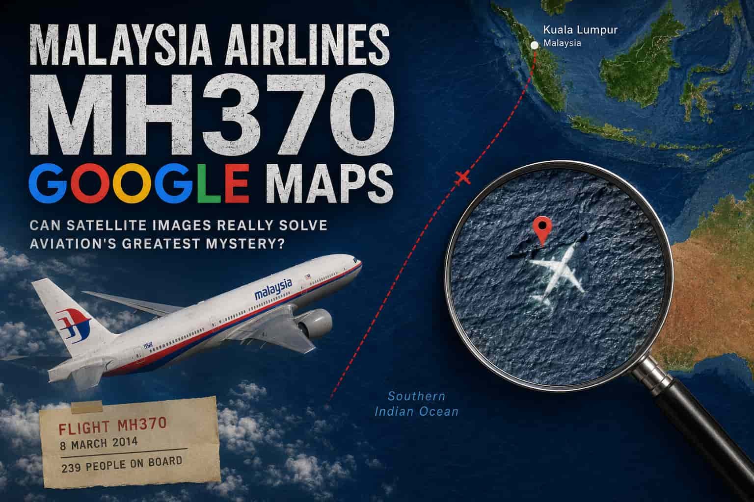
Malaysia Airlines Flight MH370 was a scheduled passenger flight traveling from Kuala Lumpur, Malaysia, to Beijing, China. The aircraft, a Boeing 777-200ER, carried 239 passengers and crew members.
Shortly after takeoff, the aircraft disappeared from civilian radar. Military radar suggested the plane changed direction before flying for several hours. Despite one of the largest and most expensive search operations ever conducted, the main wreckage has never been conclusively located.
Over the years, pieces of debris believed to belong to MH370 have washed ashore on islands and coastlines in the Indian Ocean, supporting the theory that the aircraft crashed in the southern Indian Ocean.
Why Do People Search “Malaysia Airlines MH370 Google Maps”?
The phrase Malaysia Airlines MH370 Google Maps has become popular because many internet users enjoy examining satellite imagery for unusual shapes or objects.
Several reasons explain this trend:
- Curiosity about one of history’s biggest aviation mysteries
- Easy access to free satellite imagery
- Viral social media posts claiming new discoveries
- Online communities dedicated to solving mysteries
- Advances in mapping technology
Whenever someone believes they have found a plane-shaped object on Google Maps or Google Earth, screenshots often spread quickly across social media platforms.
Can Google Maps Actually Show MH370?
Technically, Google Maps contains satellite imagery from various providers, but it is not a live surveillance system.
Several limitations make it unlikely that Google Maps would reveal the aircraft:
Satellite Images Are Often Old
Most Google Maps satellite images are months or even years old. They are updated at different times depending on the location.
Ocean Coverage Is Limited
Large portions of the Indian Ocean have relatively low-resolution imagery compared to cities or populated regions.
Objects Underwater Cannot Usually Be Seen
Satellite imagery cannot normally penetrate deep ocean water. If MH370 lies thousands of meters below the surface—as investigators believe—it would not be visible on Google Maps.
Why Do People Think They Found MH370?
Many reported sightings involve natural formations that resemble aircraft.
Common examples include:
- Shadows cast by clouds
- Coral reef patterns
- Rock formations
- Ships viewed from above
- Image stitching errors
- Optical illusions
Human brains naturally recognize familiar shapes, a psychological phenomenon known as pareidolia. This explains why unrelated objects sometimes appear to resemble airplanes.
Google Earth vs. Google Maps
Many discussions confuse Google Maps with Google Earth.
Google Earth provides additional historical imagery, 3D terrain, and more advanced navigation features, making it a preferred tool for amateur investigators.
However, even Google Earth does not provide continuous real-time satellite monitoring.
Both services rely on archived imagery rather than live surveillance.
Official Search Efforts Were Far More Advanced
The search for MH370 involved technologies far beyond publicly available satellite maps.
Investigators used:
- Underwater autonomous vehicles
- Sonar mapping systems
- Ocean drift analysis
- Aircraft communication data
- Satellite handshake information
- Marine debris analysis
These professional search methods examined vast areas of the southern Indian Ocean.
Although debris linked to MH370 has been recovered, the aircraft’s main wreckage has not yet been definitively located.
Viral Google Maps Claims
Over the years, numerous headlines have claimed that someone found MH370 using Google Maps.
Some examples include:
- A plane-shaped object in the Cambodian jungle
- Aircraft outlines in Australian deserts
- White objects floating in the Indian Ocean
- Shadows interpreted as wreckage
Most of these claims received widespread attention before experts explained why they were unlikely to represent the missing aircraft.
Many turned out to be ordinary airplanes photographed while flying, image artifacts, or natural land features.
Why the Mystery Continues
MH370 continues to fascinate people because many questions remain unanswered.
Some factors contributing to ongoing interest include:
- The aircraft disappeared without a confirmed crash site.
- Only partial debris has been recovered.
- Numerous theories continue circulating online.
- Modern aviation rarely experiences disappearances of this scale.
- New technologies occasionally inspire renewed searches.
As a result, internet users continue exploring satellite imagery in hopes of discovering new clues.
Can Citizen Investigators Help?
Crowdsourced investigations have contributed to some scientific discoveries in other fields.
However, locating MH370 presents unique challenges:
- The suspected search area covers millions of square kilometers.
- Much of the aircraft is believed to be underwater.
- Ocean depths exceed several thousand meters.
- Public satellite imagery lacks sufficient resolution for underwater detection.
While public participation generates interest, professional investigations rely on specialized equipment unavailable through consumer mapping platforms.
How to Evaluate Online MH370 Claims
Whenever you encounter posts claiming Malaysia Airlines MH370 Google Maps has finally revealed the aircraft, consider these questions:
- Is the source credible?
- Has any aviation authority confirmed the discovery?
- Are multiple experts supporting the claim?
- Does the evidence include more than a screenshot?
- Has the location been independently investigated?
Most viral discoveries fail these basic credibility checks.
The Importance of Verified Information
The disappearance of MH370 affected hundreds of families who continue seeking answers.
For that reason, it is important to distinguish verified evidence from internet speculation.
Official investigations rely on scientific analysis, satellite communication records, oceanographic modeling, and recovered debris rather than visual interpretations of publicly available map imagery.
Responsible reporting helps prevent misinformation while respecting those impacted by the tragedy.
Conclusion
The popularity of Malaysia Airlines MH370 Google Maps searches reflects the world’s enduring fascination with one of aviation’s greatest mysteries. Although satellite images often spark viral theories, there is currently no verified evidence that Google Maps or Google Earth has revealed the aircraft’s final resting place.
Professional investigators continue to rely on advanced underwater technology, satellite communication analysis, and recovered debris to understand what happened to Flight MH370. Until definitive evidence emerges, claims of finding the aircraft through publicly available satellite imagery should be approached with careful skepticism.
For readers seeking accurate information, focusing on verified investigation findings rather than unconfirmed online discoveries remains the most reliable way to follow developments in the MH370 story.